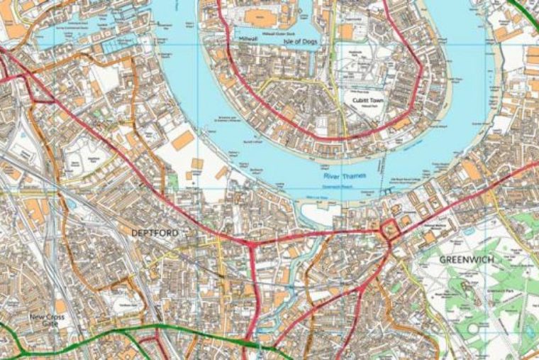
Have you ever taken a map, a paper one, marked your home’s location and gone through it with great care and made an area threat/asset map? If there were a natural disaster, a SHTF or TEOTWAWKI event is there an earthen dam up-slope from your home? A chemical plant that could be up-wind? A zoo or animal shelter in your neighborhood, one with exotic animals? A prison or jail? Half-way houses for sex offenders, drug rehab facilities?
This could be an excellent family preparedness exercise – get everyone a map and give them the rules – first mark the exact locations of all the things they would consider threats. Then get together and get the “group speak” and make each person explain their reasoning for selecting something. Explain yours, make it a teaching exercise.
There are maps on-line of where convicted sex offenders have been relocated, and where incarceration facilities are located.
Potential Threats
Things to consider as potential threats could be:
- Chemical plants/refineries
- Power generating stations, especially nuclear facilities
- Zoos and animal shelters
- Dams and reservoirs
- Known shelters for homeless, drug rehab, half-way houses for controlled release of prisoners, convicted sex offenders locations
- Settlement camps for in-transit illegal aliens
- Ocean, lake or waterway access
- Potential choke points – bridges out or patrolled by less than desirable’s; mountain passes, rivers prone to flooding or flash floods areas
- An open international border
- Areas where your home could be approached by stealth – woods, forests, heavy brush
- Attractive nuisance’s – things that will bring undesirables close to your home such as the above mentioned woods, a lake or other water supply, well traveled roads, and most all of this things listed below as assets
by Wild Bill


